P.O Box 31, Ngora, Uganda | Tel: +256-772-631335 | E-mail: [email protected]
Location & Size
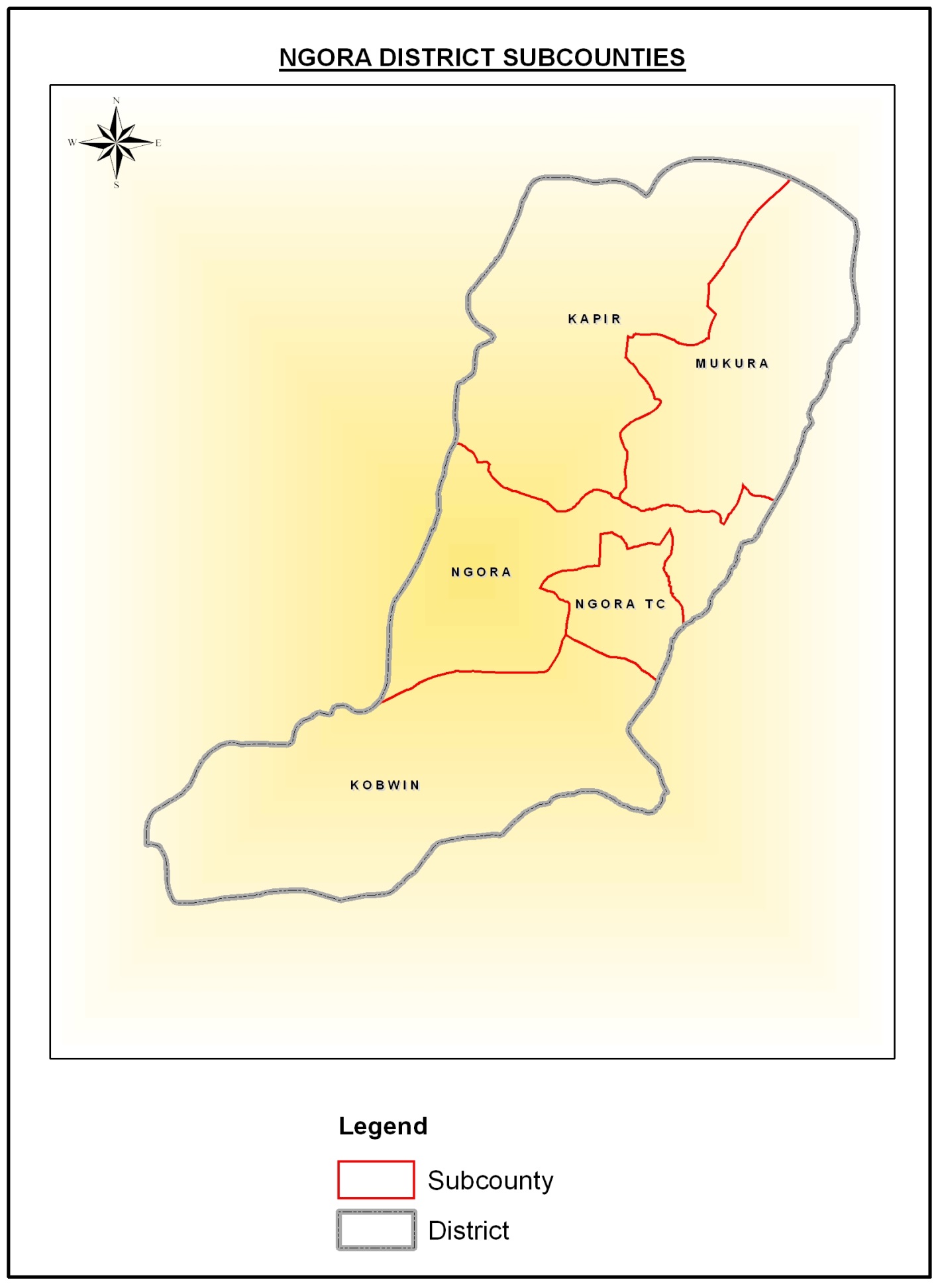
Ngora district is located in the Eastern part of Uganda. It borders Kumi district in the East, Serere to the West, Soroti in the North West, Katakwi district in the North and Pallisa district in the South. Ngora district headquarters are located in Ngora Town Council and with a distance of about 326 kms from Kampala.
It lies approximately between: latitude 1010’ North and 1035’ North and longitude 33030’ East and 34020’ East. Ngora district covers a total area of 715.9 sq km, out of which 177.44sq.kms is land area while 330.76 (18.7%) is covered by open water bodies and swamps/wetlands. The main water bodies include Bisina, Nyaguo, Meito and Nyasala.
Map of Ngora District